We're excited to announce the release of a suite of optional extras on BuyAPlan® available with OS MasterMap in CAD format (DWG and DXF). We developed these layers, which include UPRNs, 1m contours, building heights, freehold boundaries and the National Tree Map™, as part of our commitment to innovation and client satisfaction. These add-ons are intended to provide you with even more extensive and comprehensive mapping capabilities, allowing you to make better-informed decisions and streamline your projects. Our new optional extras are intended to provide you with the knowledge you need to excel in your projects and make sound decisions. They can change the way you work with CAD maps, whether you are a property developer, engineer, architect, or environmentalist.
Why Choose BuyAPlan®'s Optional Extras:
- Accuracy: Our data is highly accurate and up-to-date, ensuring that you have the most reliable information at your fingertips.
- Ease of Use: Integrating these extras is hassle-free, even for those new to CAD mapping.
- Versatility: These features cater to a wide range of industries and professions, making them a valuable asset for various projects.
- Data Quality: We pride ourselves on the quality of our data, which is sourced from trusted providers and thoroughly vetted.
1m Contours
Contour lines provide an accurate depiction of the land's topography, covering more than 60% of England, Wales, and a portion of Scotland. These contour lines, shown in brown on maps, represent imaginary lines on the earth's surface. They connect points that share the same height relative to a reference plane, typically representing sea level.
The data for these contours is derived from a survey conducted by the Environment Agency using Light Detection and Ranging (LIDAR) technology. LIDAR is an aerial mapping method that employs lasers to measure the distance between the aircraft and the ground below. This survey captures an impressive rate of up to 500,000 ground measurements per second, allowing us to create highly detailed terrain models with spatial resolutions ranging from 25cm to 2 meters.
To ensure accuracy, our 1-meter contours are aligned with Ordnance Survey Newlyn and adjusted using the OSTN’15 transformation. The LIDAR data boasts a vertical accuracy of within +/-15cm Root Mean Square Error (RMSE).
The two additional layers available when using OS MasterMap® DWG/DXF format maps
- ms Contour Heights (m) Text
- ms Contour Lines
Building Heights
The building heights layer provides approximate height data for most of the UK. It's important to bear in mind that these heights are meant as general reference points, and for more precise measurements, we recommend conducting an on-site survey. You have the option to include this layer alongside OS MasterMap® in CAD format. Please be aware that in some areas, there may be partial coverage due to incomplete surveys, but it will always be > 50% coverage.
- Building Heights – AbsH2: is the absolute height of the base of the roof, that is, where the roof intersects the principal part of the building. The principal part of the building is defined as the main structure.
- Building Heights – AbsHMax: is the absolute height of the highest point on the building and can include any structure such as chimneys, plant housings and machinery.
- Building Heights – AbsHMin: is the absolute minimum height of the intersection of the external building walls and the underlying ground surface.
- Building Heights - Confidence: these are assigned by the Ordnance Survey to indicate the confidence of that individual measurement, “90” indicating that some of the numbers will be missing for that particular building and “99” indicating that the accuracy has not been assessed.
- Building Heights – RelH2: is the relative building height from the base of the building (AbsHMin) to the height of the base of the roof (AbsH2).
- Building Heights – RelHMax: is the relative building height from the base of the building (AbsHMin) to the height of the highest point on the building (AbsHMax).
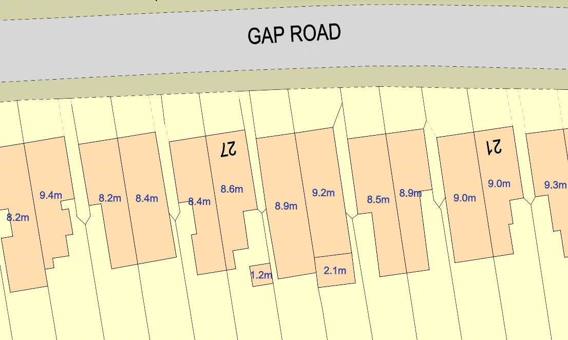
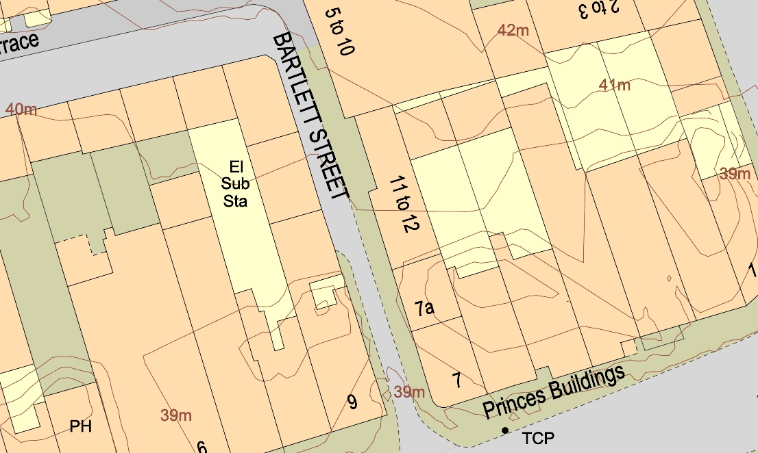
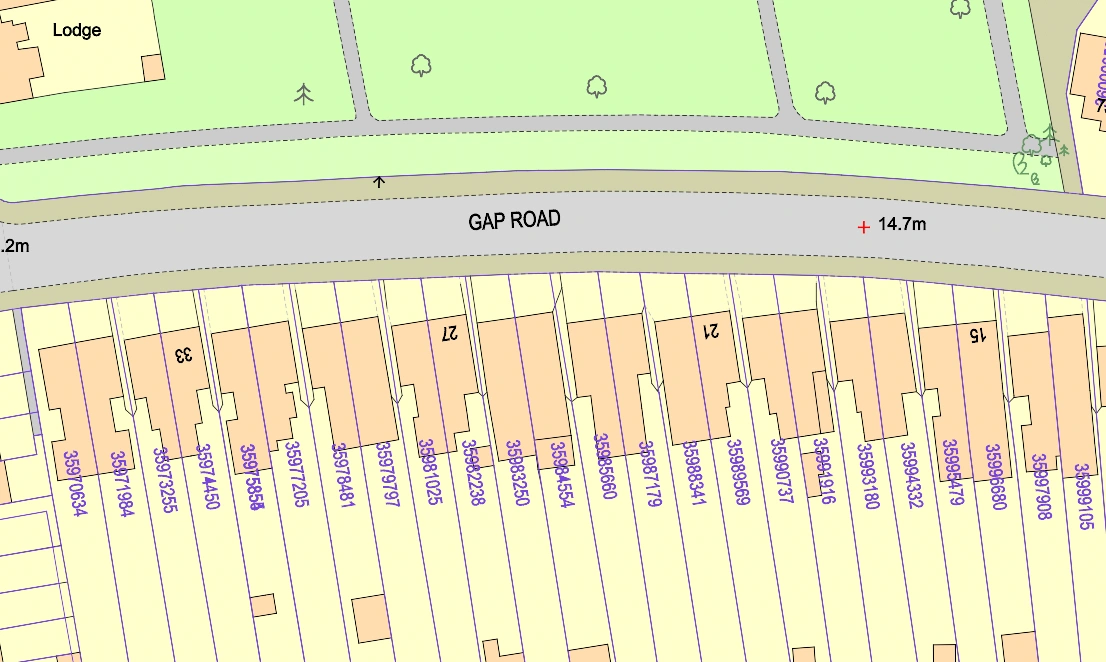
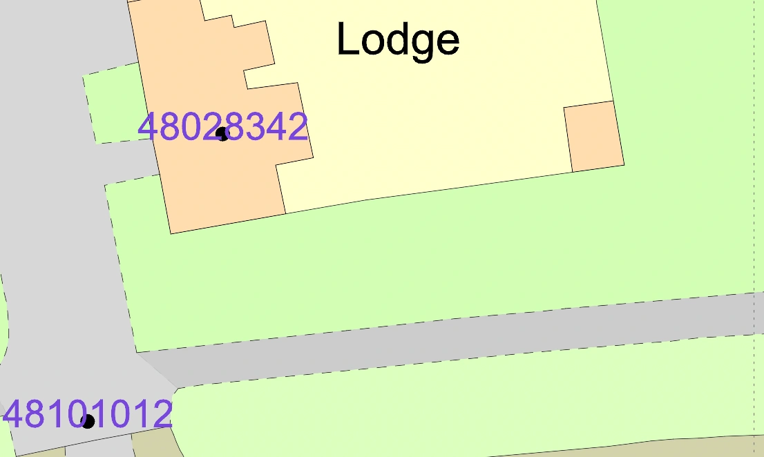
Freehold Boundaries
The freehold boundaries layer, available in DWG and DXF formats, includes two additional layers named 'Freehold Lines' and 'Freehold Text.' These layers display the locations of registered freehold properties in England and Wales. The polygons represent shapes that indicate the position and approximate boundaries of these registered properties. The numbers displayed are known as Land Registry-INSPIRE IDs, which correspond to specific registered titles. To access the title registration and plan for each polygon, you can use the Land Registry-INSPIRE ID in conjunction with their 'find a property' service.
It's important to note that the extent of land within a registered title cannot be determined solely from the INSPIRE Index Polygons. For accurate information regarding the land's boundaries, you'll need to refer to the individual title plan. Each registered title is associated with a unique title number, and it may encompass multiple separate polygons. Each of these individual polygons will have its distinct Land Registry-INSPIRE ID.
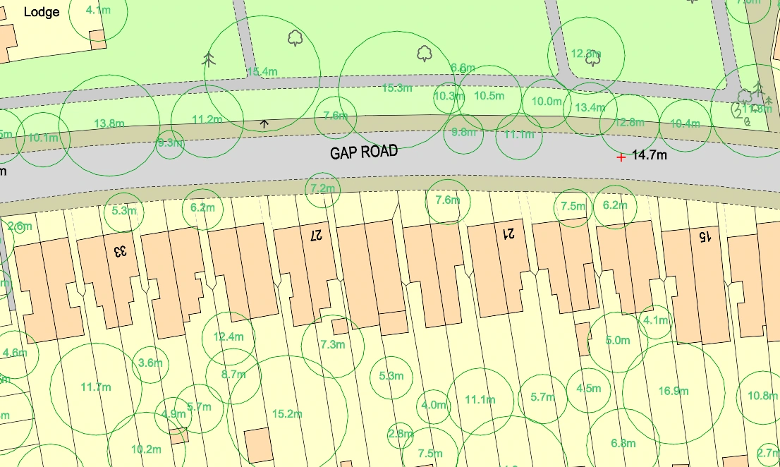
National Tree Map™
The National Tree Map™ stands as the most comprehensive dataset, providing precise information on the location, height, and canopy size of every tree that's 3 meters or taller in England, Scotland, and Wales. This invaluable resource offers detailed insights into the distribution and characteristics of trees across these regions.
Derived from high-resolution national aerial photographs, along with accurate terrain and surface data, and colour infrared imagery, the National Tree Map™ uses innovative processing techniques. It's proving to be highly beneficial for a wide range of sectors, including local and central government, surveyors, arboriculturists, and architects. It simplifies the task of capturing tree details, saving both time and money. Additionally, it finds utility in urban planning, environmental management, and conservation efforts. This dataset empowers policymakers and local authorities to make informed choices regarding tree preservation, afforestation initiatives, and the development of green infrastructure.
The NTM™ layer is regularly updated as new aerial photographs become available through our cyclic update program.
- NTM Centroid: the centre point of the tree canopy.
- NTM Area: is the area of tree canopy.
- NTM Circumference Lines: a simplified representation of the tree canopy with the same area as the actual canopy.
- NTM Height Max: the maximum height of the tree.
- NTM Height Mean: the mean height over the tree canopy.
- NTM Height Standard Deviation: the standard deviation over the tree canopy height.
- NTM Dates Text: the last date the tree was surveyed.
- NTM Perimeter: the length of the perimeter of the canopy.
- NTM Perimeter Lines: the actual outline of the tree as an irregular polygon.
UPRNs
The Unique Property Reference Numbers (UPRNs) serve as identification codes for every addressable site within the United Kingdom, consolidated into a single dataset. An addressable site can encompass various structures or objects that don't possess a conventional address, like a bus stop or a public restroom. UPRNs provide a consistent reference number for each unit, which remains unchanged over time, spanning from the planning phase to eventual demolition. For an individual
The Information is licensed 'as is' and Passinc Ltd as the 'Information Provider' excludes all representations, warranties, obligations and liabilities in relation to the Information to the maximum extent permitted by law. The Information Provider and/or Licensor are not liable for any errors or omissions in the Information and shall not be liable for any loss, injury, or damage of any kind caused by its use. Please note you are bound by the licence terms as linked on our website.