This a much-asked question. The scale of a site plan (sometimes called a 'block plan'), is typically a 1:200 or 1:500 scale. This means the map, when printed onto an A4 sheet would be 200 or 500 times smaller than the location in real life. So for example, 1cm on the map would cover 200 or 500cm in the actual site location, that's 2m or 5m. Location plans, however, are typically needed to show the overall context of a planning application rather than the more detailed block plan, which is typically 1:200 or 1:500. We hope that helps!
Download your site plan here
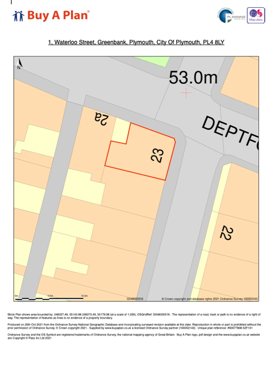
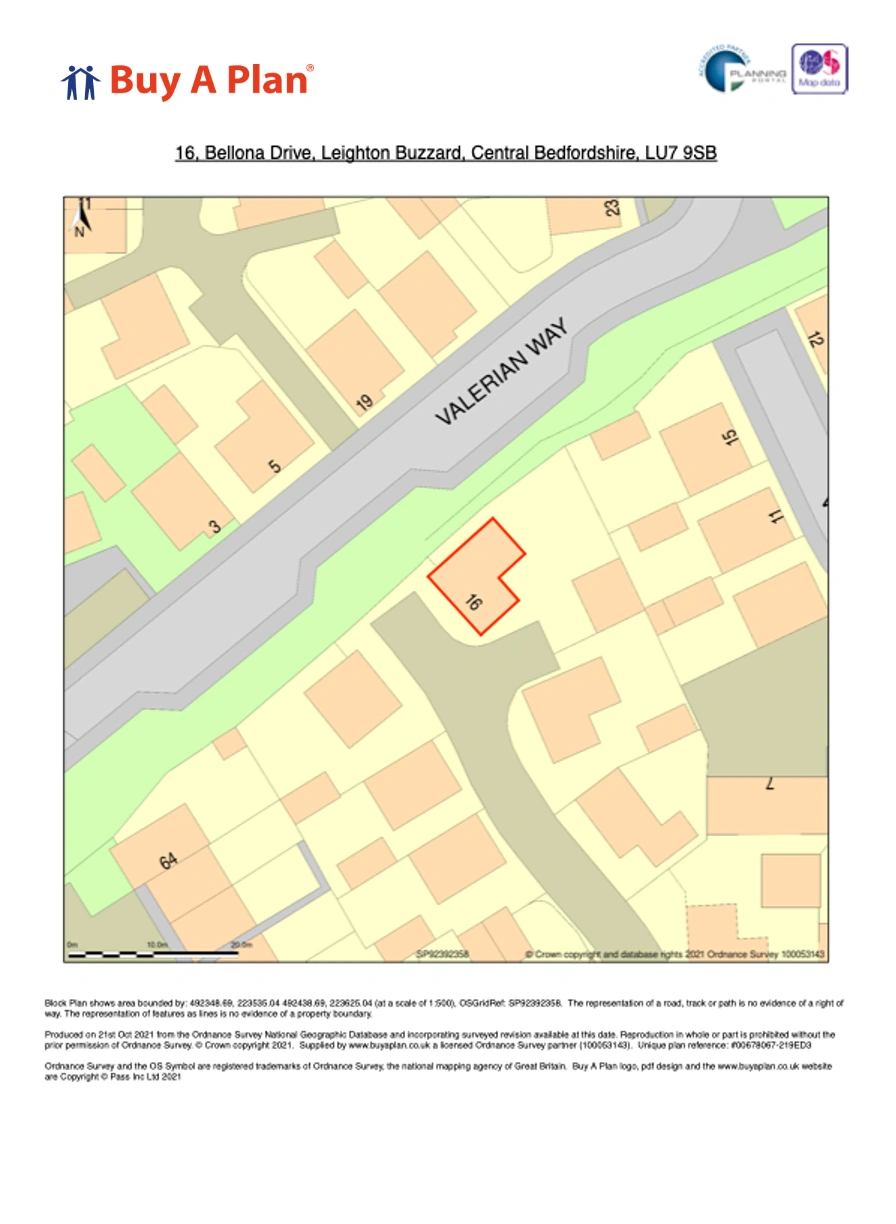
1:200 scale site plan 1:500 scale site plan
Here's an example site plan or go here to buy a site plan. If you need a step by step guide for your planning application before you submit you can find it here.