Not something you probably buy often, the humble planning application map is just one of the things you need to get hold of as part of your planning application process. However, providing the wrong planning maps that don't include the necessary features may mean your application is delayed even refused.
Okay, so what needs to be on a planning application map? Well, you actually need to submit two types of plan, a site plan (typically 1:1250 scale) that shows the general location of the property and you need to submit a block plan (typically of a larger scale like 1:200 or 1:500 scale).
Download your planning maps here
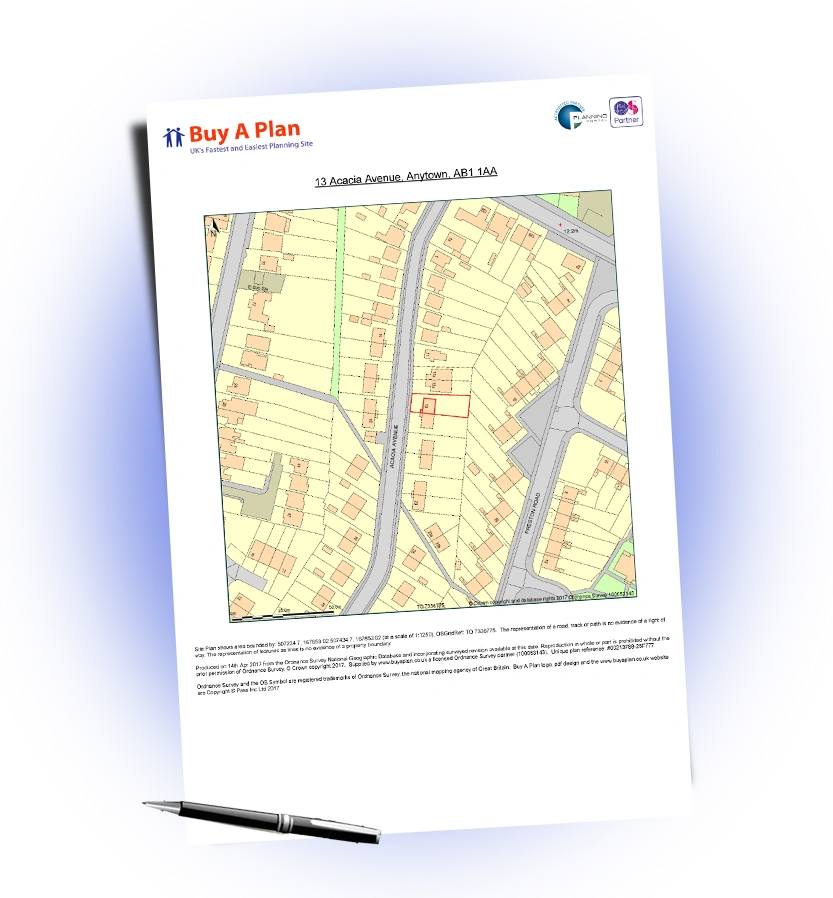
So a site plan needs to show the boundary of the site including land required for access has to be coloured red. The plan must point north and be A4 size, except where larger developments prevents this.
The block plan must indicate the location of the proposed development within the site boundaries and again it should point north and be ideally A4 or for larger developments A3.
Need clarification? Read our article on guide to planning applications here and then submit your planning maps.