
We're proud that we're an Ordnance Survey® Licenced Partner. So just why are OS planning maps the best on the market?
- They feature mapping called MasterMap® which is the most up-to-date mapping available with an update cycle of 6 weeks.
- MasterMap® is also the most detailed available with over 400 million geographic features including administrative boundaries, buildings, heritage and antiquities, land, rail, roads, tracks and paths, structures, terrain and height, and water.
- They are based on what's called vector data which means the maps can be scaled easily and still display perfectly.
- Ordnance Survey Planning Maps are also available digitally which means you can choose to email them, submit them to a planning website online, or print them out.
- MasterMap® is also 'layered' which means for the professional, it is possible to select only the geographical features they need.
Select and download your Ordnance Survey plans here
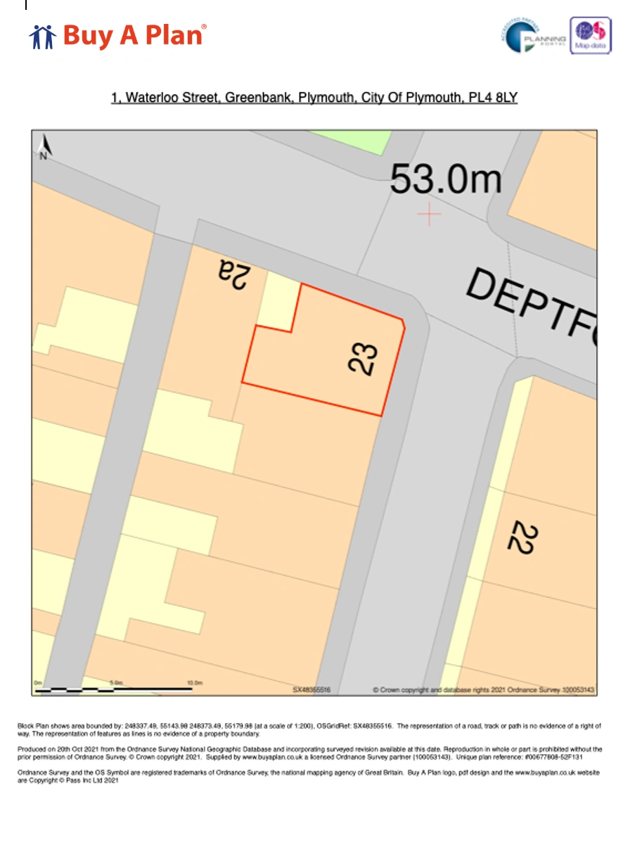
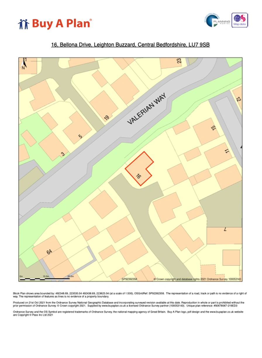
Planning maps examples