Often talked about but sometimes not understood, map scales are important when buying a planning map. So here goes...
All maps are made to scale. In each case, the map scale represents the ratio of a distance on the map to the actual distance on the ground. So imagine a map scale of 1:1, in other words, 1 metre on the map would equal 1 metre on the map. However, that would be impractical as the map would need to be massive! Therefore we need to represent the real world of roads, house boundaries etc in a smaller space and therefore use scales that enable the real world to be represented in a smaller space. Here are some typical examples you might see on this site which are typical planning map scales:
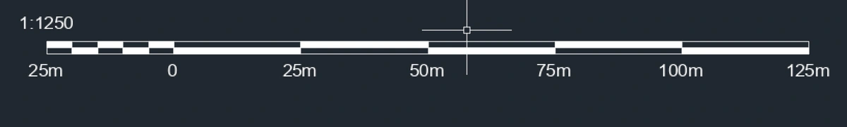
1: 1250 scale: means 1 metre on the map represents 1250 metres on the ground.
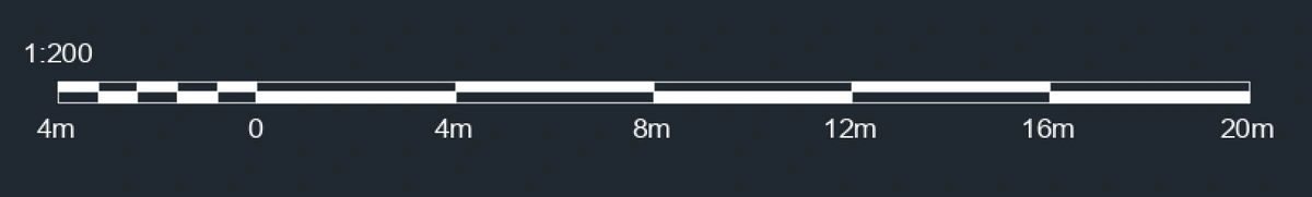
1: 200 scale: means 1 metre on the map represents 200 metres on the ground. Therefore it's a far more detailed map than the 1:1250 scale.
Download your planning maps here
We hope this helps! You can find a detailed guide here. Go here to order any of these 1:200 scale plans, 1:500 scale plans, 1:1250 scale plans and 1:2500 scale plans.