The essentials when buying your planning maps are that they need to be:
- Genuine Ordnance Survey maps – the ones we sell. They’re the most detailed and up-to-date.
- At the appropriate scale: read on for some guidance about maps for different purposes.
- Clear: an Ordnance Survey map base will be perfect but make sure that when you add information, it’s also clear.
- Accurate: when adding details to the map, such as the position of a building or new access, make sure they’re in exactly the right position.
- Up to date: Ordnance Survey maps are the most up-to-date you can buy but do check that any very recent development (such as a new house on an adjacent site) is accurately shown.
- The quantity you need: check the guidance notes that come with the planning application forms, but you’ll probably need at least four copies of everything for the planning submission and you’ll also want to have at least one or two extra copies, for example, to show to neighbours.
What sorts of maps do you need? The two essentials are:
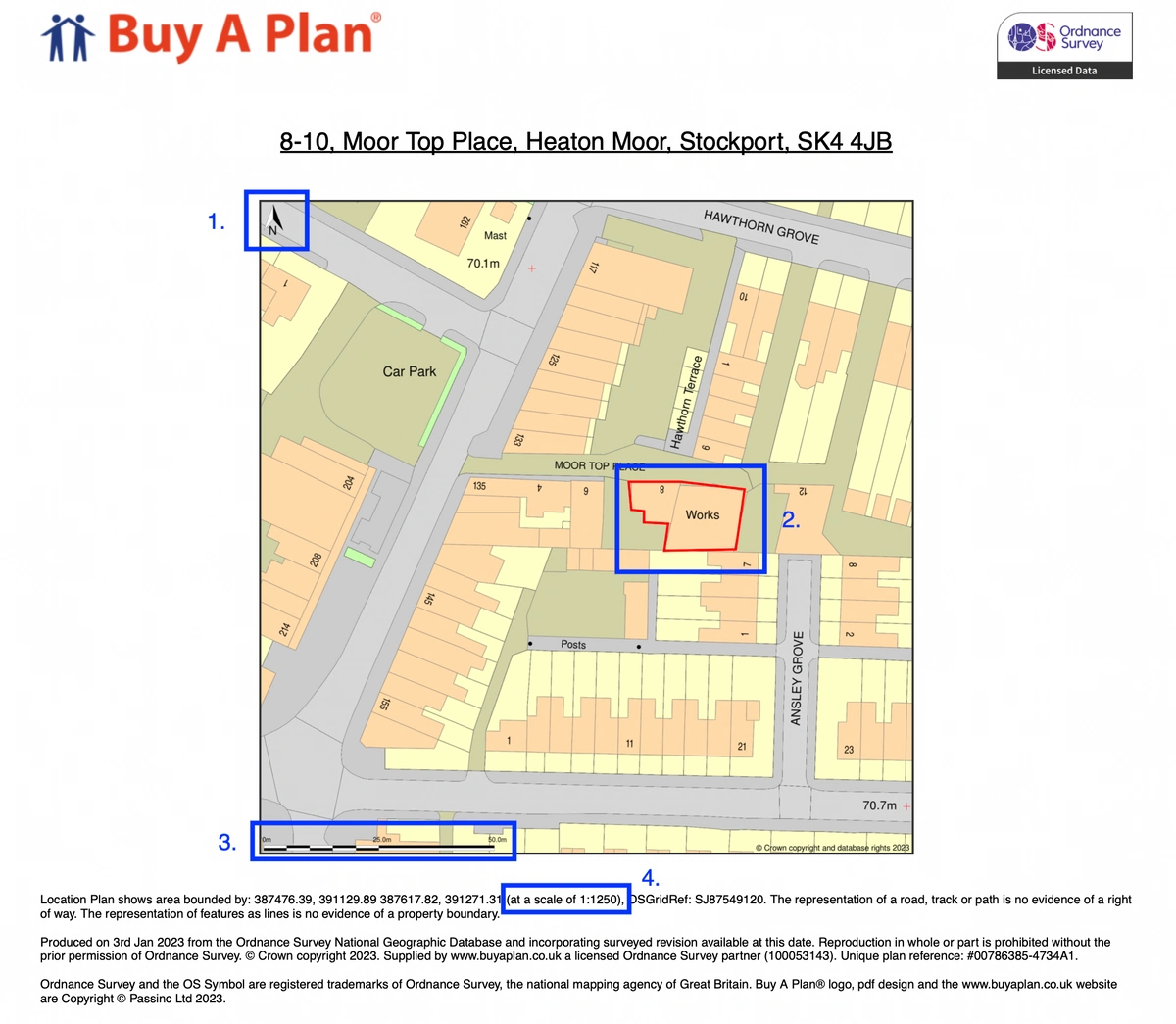
- A location plan: this needs to be at an appropriate scale. Remember that the Planning Department and those the planners consult – such as the Parish or Community Council – need to be able to identify the site easily. For most developments in an urban area, a location plan at a scale of 1:1,250 should be fine. In a rural area, where they are no street names and perhaps very few landscape features, it will help to show a wider area using a 1:2,500 map.
- A block plan or site plan, which shows the site in more detail, including the position of whatever you propose to build; this will usually be at a scale of 1:500 or 1:200.
If you’re building something or altering an existing building, you’ll also need building plans, which might be at a scale of 1:100 or 1:50, in order to show the internal layout and external appearance of the building.
A few more things to bear in mind:
- As soon as you have some idea of what you want to do, have a word with your neighbours. Sound out their views and, as far as you can, take them into account.
- Have a word with the Planning Department at the earliest stage, too. Again, take advice from them.
- Be patient with the planning process. It’s there to make sure that the community’s views are heard and that development takes place in a way that’s appropriate and safe. Assessing these things does take time. Delays may arise which are beyond the control of the planners.